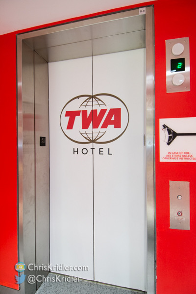
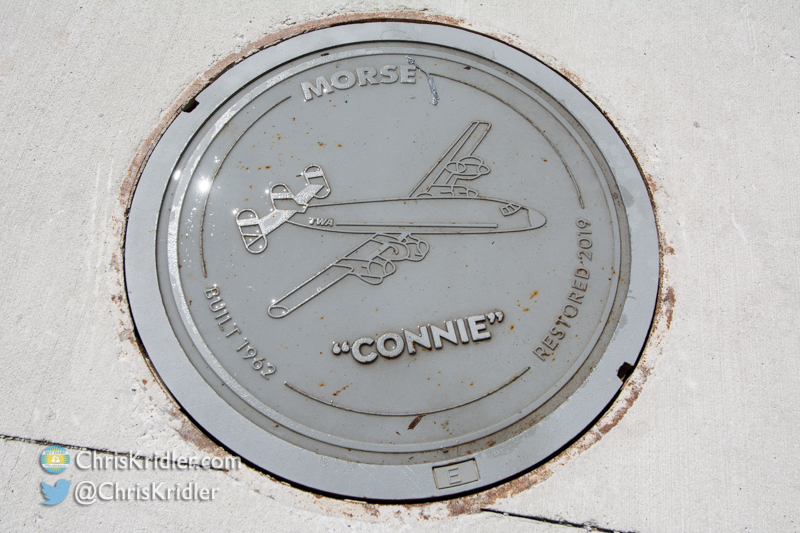
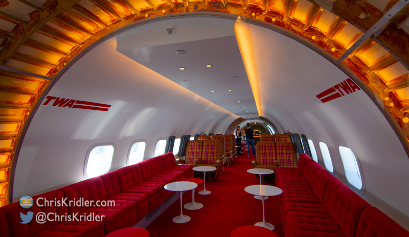
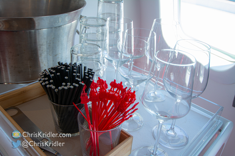
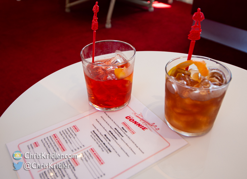
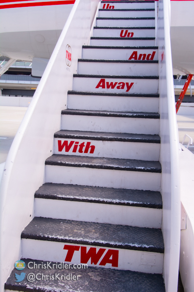
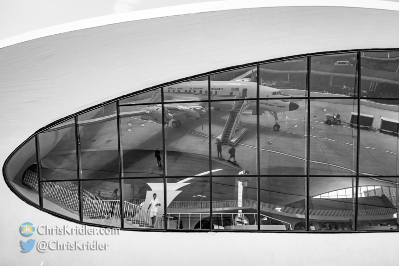
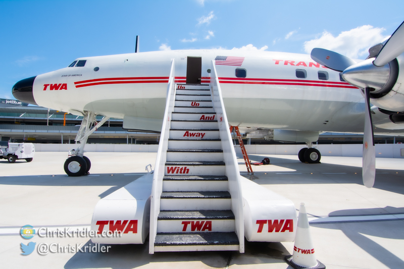
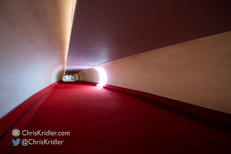
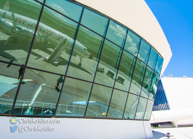
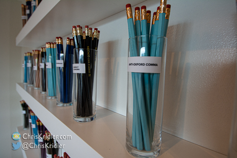
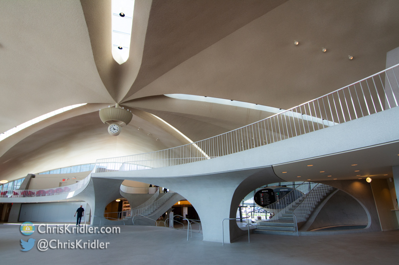
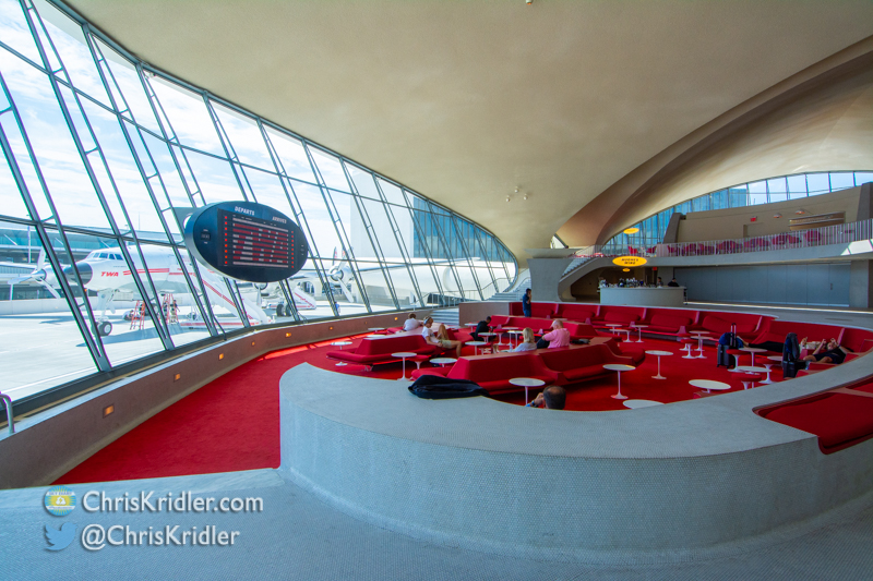
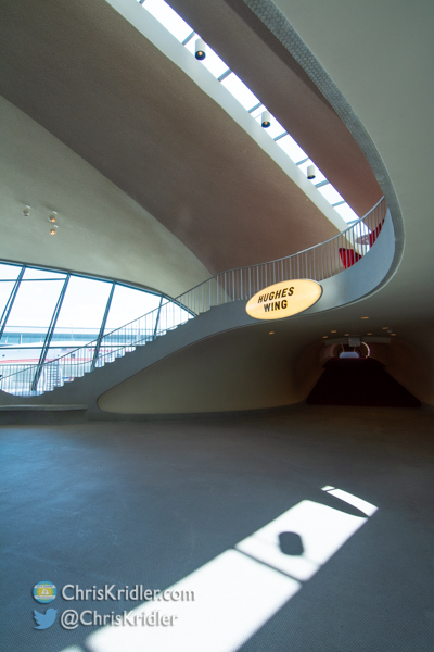
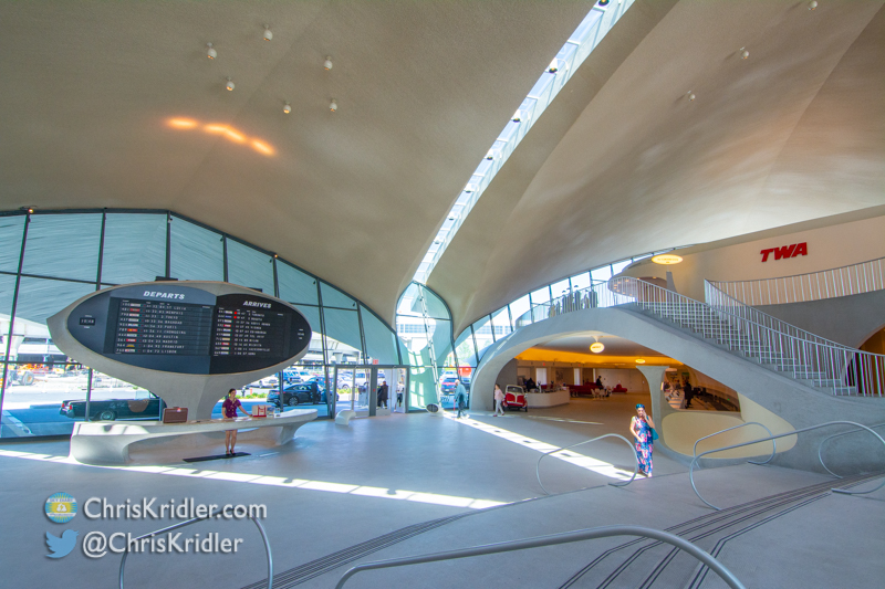
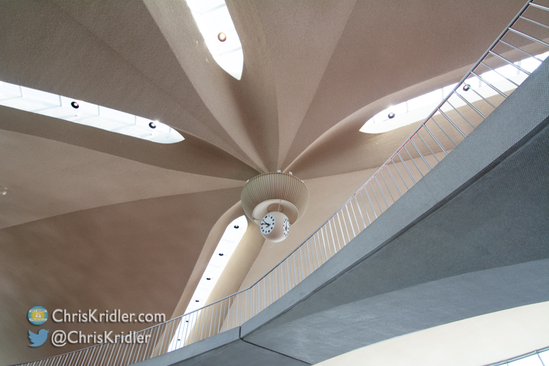
I recently had the chance to visit the beautifully restored TWA terminal at JFK airport when I went to New York for the Romance Writers of America convention. Now the terminal is the TWA Hotel and a great place to stop in the 1960s for a cocktail on your way to somewhere else.
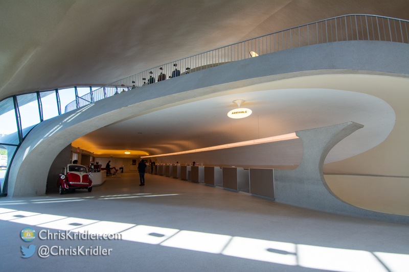
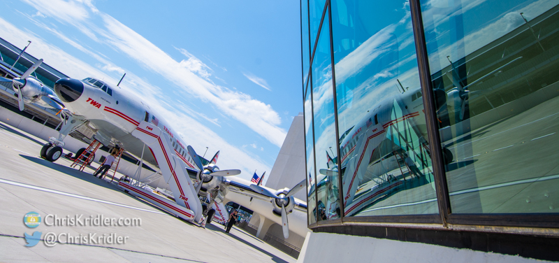
Originally designed by architect Eero Saarinen, the retired terminal is pure art, with graceful lines, gorgeous views everywhere, and not a square corner to be seen. Click on the thumbnails to see bigger images or go through the whole gallery.


.")


.")