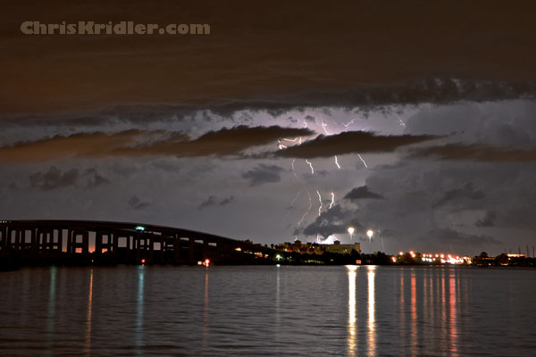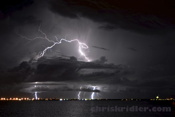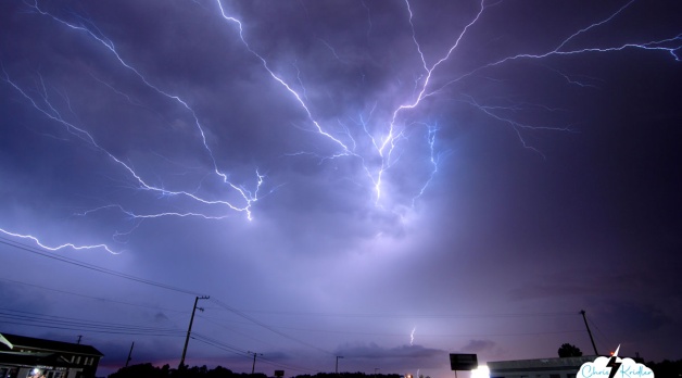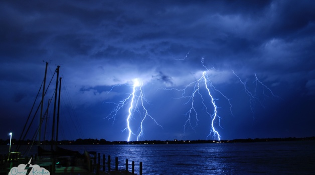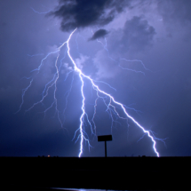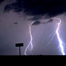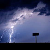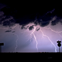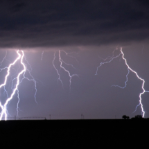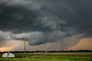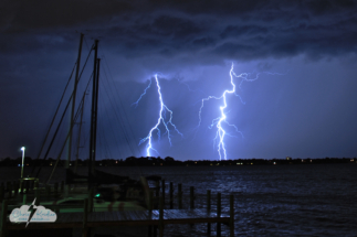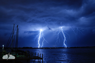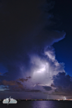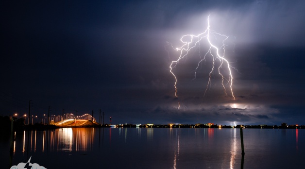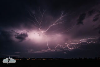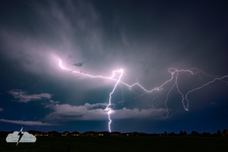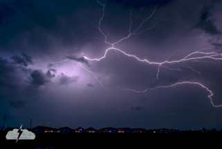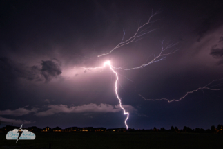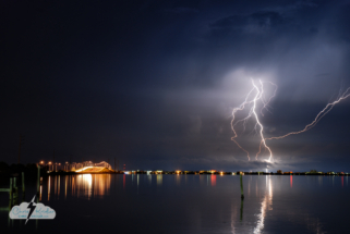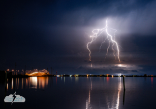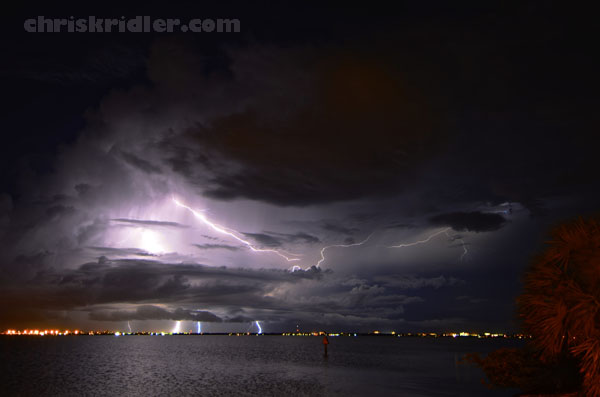
Lightning flashes over the Atlantic Ocean, as seen looking east toward Cocoa Beach and Cape Canaveral, Florida, from across the Banana River. Photo by Chris Kridler, chriskridler.com
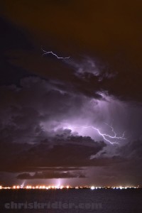
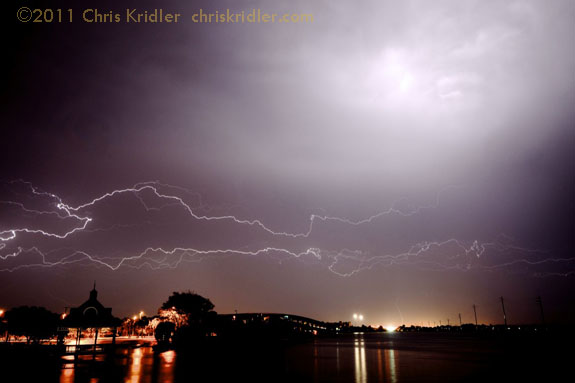
A lightning crawler and CGs on August 17, 2011, as seen looking east toward Cocoa Beach and Cape Canaveral, Florida. Photo by Chris Kridler, chriskridler.com
I love to see an isolated cell light up right at sunset, and over water, it’s even better. This was more of a cluster of cells, and they produced a few nice bolts before they croaked. I’m sure I missed a few as I drove over Merritt Island and got into position on the Banana River to take photos (and donate a quart of blood to the mosquitoes).
The lightning may have been sparse, but it was pretty. I’ve found sometimes the best crawlers happen in the dying phases of the storm, and sometimes you have to wait several minutes between flashes to nab them. But this storm hovering off Cape Canaveral really stopped when it stopped producing, allowing me to get several more mosquito bites as I painstakingly held the shutter open for 20 or 30 seconds at a time, hoping against hope. Oh, well. Comes with the territory.
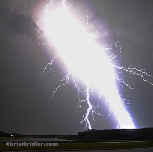
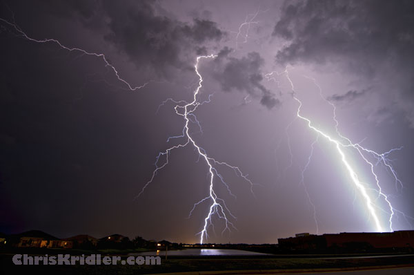
A close lIghtning bolt overexposes the frame on August 1, 2011, over Viera, Florida. Photo by Chris Kridler, chriskridler.com

A passing car obscures a photograph of lightning, casting a "shadow" at the bottom of the frame, on August 1, 2011, in Viera, Florida. Photo by Chris Kridler, chriskridler.com
Earlier Monday, I drove south to check out some storms and saw a lightning bolt hit well ahead of the rain and clouds – one of those bolts from the blue. That’s why the lightning safety folks say, “When thunder roars, go indoors.”
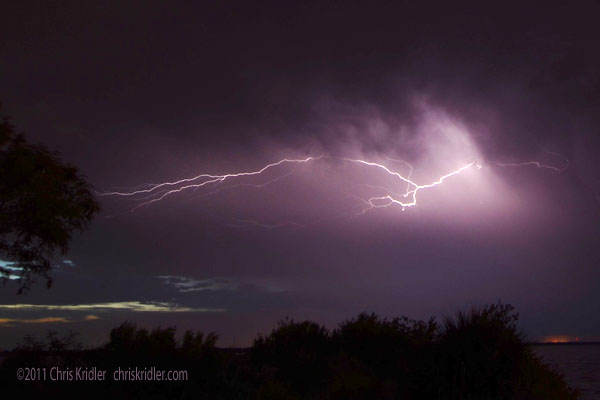
Lightning flashes in a weakening storm over the Banana River Lagoon on July 12, 2011. Photo by Chris Kridler, chriskridler.com
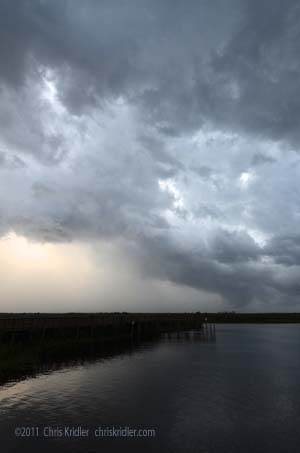
A line of storms is seen from west Cocoa, Florida, looking northwest over the St. Johns River, on July 12, 2011. Photo by Chris Kridler, chriskridler.com
I don’t necessarily have all day to wait around in central Florida for storms to fire, but I did go out before sunset to check out a line of storms in extreme western Brevard County. They made for a pretty backdrop to the anglers courting lightning strikes out at the Lone Cabbage Fish Camp. After dinner, I went out again, hoping for the storms – and the lightning – to persist. I saw a few crawlers while I got into position and barely anything after that. Once again, the storms didn’t survive much beyond sunset. I had a similar experience when I tried to chase the Arizona monsoon several years ago, though I’m sure I gave that too few days to be successful. Here’s hoping we get more lightning shows this summer – at night, when I can see them!
While you need a storm to shoot lightning, one of the obvious side effects of a storm, the rain, is a real hindrance to lightning photography. And when the severe storms came to the Space Coast tonight …
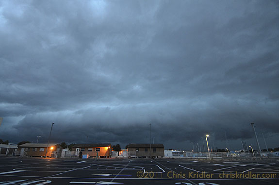
Severe storm approaches Rockledge, Florida, on June 18, 2011. Photo by Chris Kridler, chriskridler.com
… they had a fair amount of lightning, but it was all embedded in precip. In other words, a mess. So after the evening’s social obligations, I attempted to get a little shelter under a pavilion in Cocoa Village to catch a few lightning crawlers. Still, the rain was spitting on my lens, and the one awesome crawler happened to fire in the split second between exposures. Ack! Anyway, here’s one, despite everything.
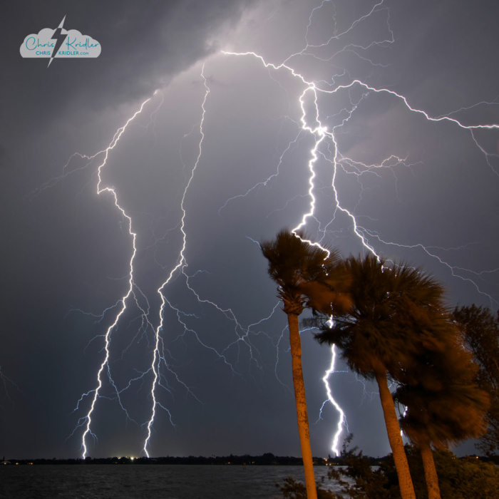
Lightning over Indialantic, Florida, on June 14, 2011.
Severe and not-so-severe storms came in waves through Brevard County, Florida, today.
Today was good evidence that east-central Florida’s dry season is finally over, or at least taking a break. We had several rounds of severe and nonsevere storms in Brevard County, but chasing the lightning wasn’t easy. The storms this evening were moving south so fast, I could barely get ahead of them, thanks in part to way too many traffic lights. Makes me miss the prairie!
This is the quick version, since it’s 2 a.m. central time, and I’m beat. South Dakota hills are beautiful; chasers always seem to end up in the same spot; the storms didn’t have quite what they needed where we wanted them; but a tornado-warned storm at dark managed to produce a great lightning show for me, and that was enough.
[Added later from the old SkyDiary archive…] I started the day in O’Neill, Nebraska, and initially thought I would target the Wyoming-South Dakota border west of Rapid City. But after a pleasant photographic detour, I ended up in a chaser convergence in Murdo, S.D., where it appeared the juicy southeast winds might help kick things off. Instead, the line that formed on the Wyoming-S.D. border was about the only game in town. I headed down to the southernmost storm and got there just as it was getting really dark – and as the tornado-warned storm was spitting out huge amounts of lightning.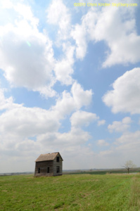
9 MAY 2011 – South Dakota has so many picturesque, abandoned houses. Photo by Chris Kridler, chriskridler.com
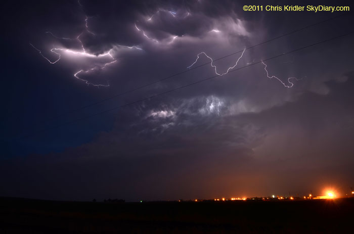
9 MAY 2011 – The storm cell had a nice structure, illuminated by the lightning. Photo by Chris Kridler, chriskridler.com
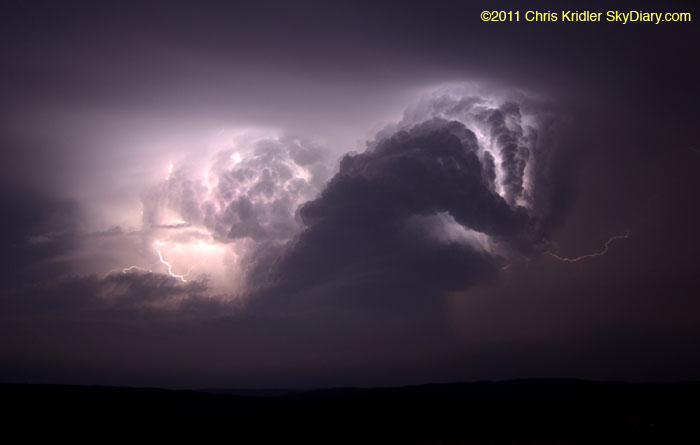
9 MAY 2011 – Use your imagination – the storm looks as if it has its arms up for a fight! Photo by Chris Kridler, chriskridler.com
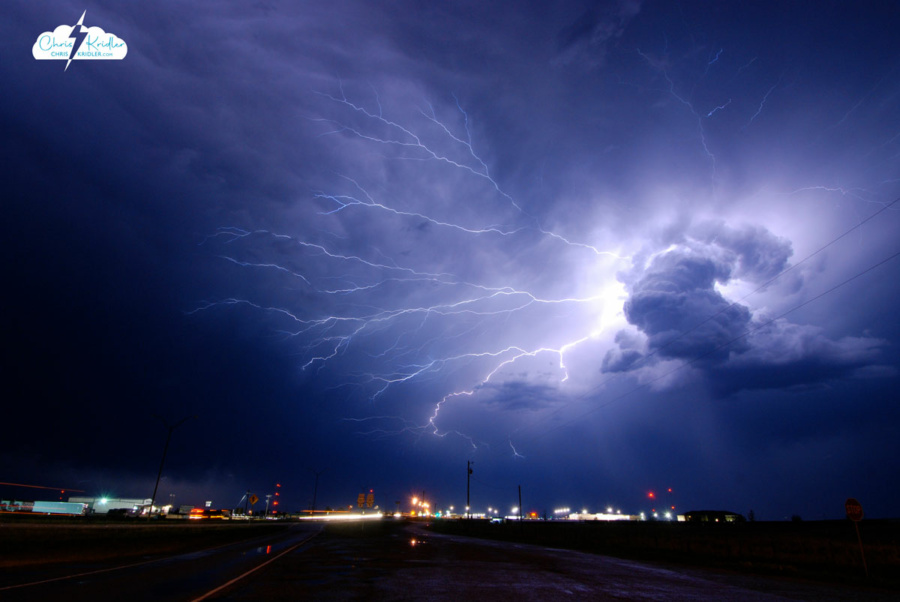
Lightning May 12, 2009, in Childress, Texas.
I have extensive archives from my early storm chasing years. I chronicled almost every day on the road, even bust days, at the old SkyDiary site, with lots of photos. In the interest of collecting everything in one place, I’m moving the highlights of the older chases – or quirky moments worth remembering – over to ChrisKridler.com. With that in mind, this post collects just a few of the accounts from 2009 and select photos to accompany them.
May 2, 2009: I began my trip to the Plains to chase storms, never dreaming I’d actually be chasing on Day One during my long drive from Florida. I saw a couple of tornado-warned storms in Mississippi, but no tornadoes. I drove over 900 miles on this day, and a ridiculous number of hours after leaving home at 5:30 a.m. EDT.
May 3, 2009: I woke up in Jackson, Mississippi, on May 3 to the first wave of squalls hammering the hotel. After a snooze, I got up about an hour later and saw a huge bow heading our way on the radar. I was out of the hotel by 9 a.m. and heading south on I-55. It looked like a cell was forming ahead of the line. I dropped south, then, trying to intercept the tornado-warned advance cell, made a problematic decision to take a tiny, windy road northwest into what was essentially a forest.
I started to make my way toward a main road and saw lots of branches and some trees down. This was in a rural area west of Hazelhurst. I was so close to the main road when … yep, a tree down, blocking my way. I thought that might happen. Here I am checking out the fallen tree. My superpowers failed to manifest, so I had to leave it, turn around and find another way out. I gave up the chase and headed west.
May 5, 2009: My initial target was somewhere between Abilene and Seymour, Texas, where the dryline push and warm front were likely to intersect and where upper-level winds would enhance storms. I would refine that forecast on the road. I left Amarillo in the mist and cold and, after a data stop in Childress, I dropped south.
I found the Cloud 9 Tours group in Aspermont, so I goofed around with them for a while as I kept an eye on the clearing satellite picture. I left the Cloud 9 folks because I wanted to get a little southeast, where the forecast suggested storms might fire, and near the field of cumulus clouds near the warm front. This is east of Anson. At first, they weren’t much to look at. Soon, the clouds starting percolating in the afternoon heat and began to form a nascent storm, here seen from a picnic area that overlooks Hubbard Creek Reservoir, west of Breckenridge. From Breckenridge, the tower looked solid. At this time, I began to see massive chaser caravans.
Here’s a view of the base, as seen from Breckenridge.
Though the storm became disorganized, the towers at its southwest end began building and dominating. This is just east of Breckenridge. I ran into the Cloud 9 group again. We were among dozens of chasers (at least) who were following the storm.
I repositioned and got a nice view of a wall cloud forming. It began rotating as small hail began falling around me. Driving through the hail was stressful, but I stayed ahead of the bigger stones, despite a lot of banging on the car. The reward: this beautiful rotating wall cloud crossing Interstate 20 at Route 16.
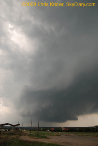
The rotation made it seem likely a tornado was imminent.
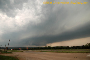
Driving through the hail was stressful, but I stayed ahead of the bigger stones, despite a lot of banging on the car. The reward: this beautiful rotating wall cloud crossing Interstate 20 at Route 16.
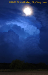
The National Weather Service cited a preliminary storm report of grapefruit-size hail – 5 inches across – with this storm, just north of our location, and it was moving southeast. I bailed and took shelter, but I missed the worst of the core. A baseball-size stone cracked John Guyton’s windshield. Meanwhile, I got a few shots of the retreating storm and the rising moon.
May 8, 2009: Most of today was frustrating. I began the day in Bartlesville, Oklahoma, and decided the front and the monster convective potential suggested southeast Oklahoma might be the place to catch storms today, or somewhere along the Red River between Oklahoma and Texas. I made the long drive down to Durant, Oklahoma, on the border, had a late lunch and pondered my options. I decided I needed to get a little west, closer to the front, and also wanted to keep an eye on a line of cumulus clouds developing in clearer air in Texas. Those started to pop, and I made the decision to go south. A while later, I decided I didn’t want to bother with those south-moving hailers, especially because it might take a while to catch them – yet a tornado was reported from one of them in Early, later. Meanwhile, a line of storms was going up to my west, so I checked them out. The result was beautiful.
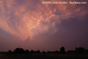
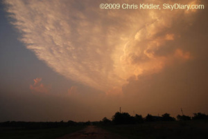
Storm on fire!
May 12, 2009: What a crazy drive today. I started in Woodward, Oklahoma, and at first thought about an Oklahoma panhandle target. But as the day wore on, the models’ meager forecast of precipitation there evaporated, and it seemed like the southwest Texas panhandle would be more likely. Thanks to Steve Sponsler for data updates.
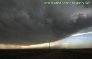
Though it looked ominous, the storm appeared linear and unlikely to produce a tornado.
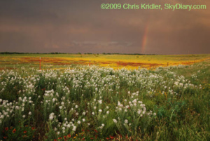
More flowers and another rainbow near Estelline, Texas.
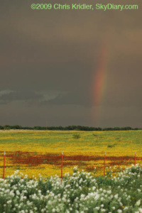
A rainbow closeup.
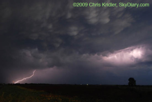
Mammatus and lightning northwest of Childress.
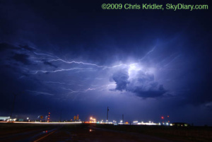
Lightning over Childress.
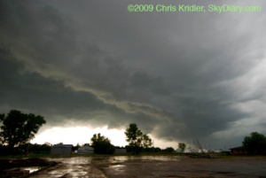
Instead of watching this pretty thing, I probably should have been driving east and getting ahead of the storm…
May 15, 2009: It seemed clear that there would be storms today, and that they would likely develop rapidly into a squall line once they fired. I thought about a couple of possible targets – the Texas panhandle, where storms could be more isolated on the dryline, and the Kansas-Oklahoma border near Alva, which was not an unreasonable drive (always a consideration) and also had enough upper-level support and huge convective potential to make me think something interesting might happen there. Eventually, there was a tornado reported in the panhandle, but I had cast my luck with northern Oklahoma.
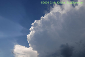
Beams of light and pretty convection.
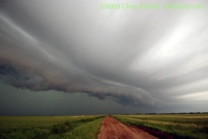
Sweeping in.
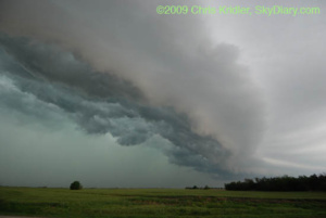
Looking to the north.
May 26, 2009: Florida is king of the shelf clouds. Here’s a beautiful layered gust front approaching the Brevard County coast from the west.
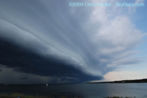
The shelf cloud looms.
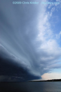
Beautiful layers appeared in the shelf cloud.
June 22, 2009: After days of unusually high temperatures of high 90s in the shade, the Storm Prediction Center put Brevard County, Florida, in a severe thunderstorm watch this evening. Storms broke late and brought with them nice lightning as they moved in fast from the north.
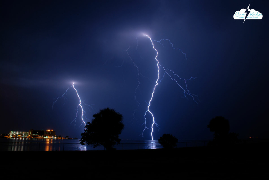
Lightning shot from Cocoa Beach, looking west, on June 22, 2009.
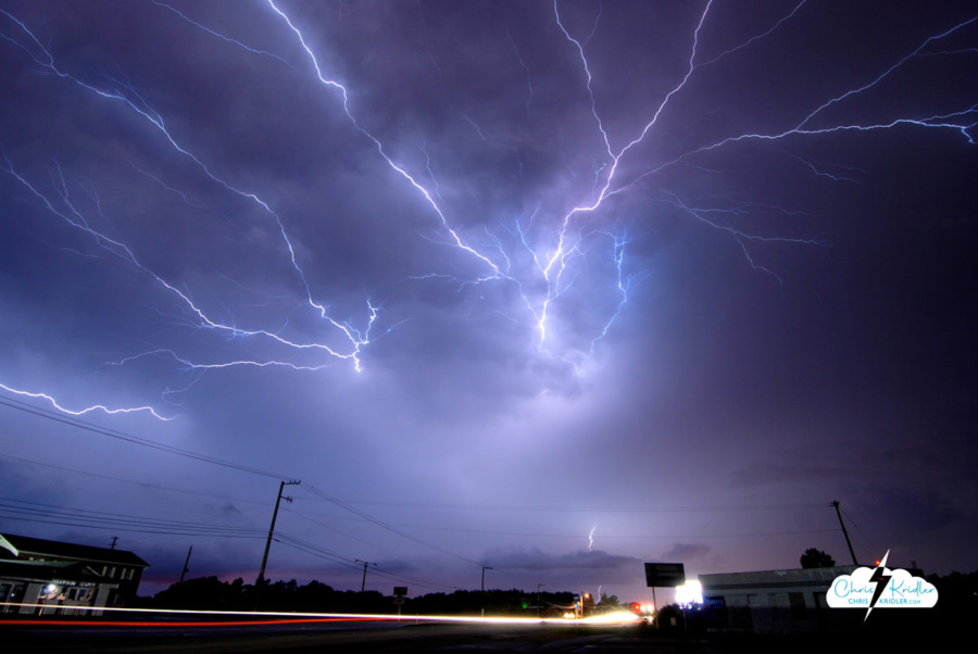
July 24, 2009: The evening began with a farewell to my husband’s brother – a memorial at Lone Cabbage Fish Camp in Cocoa, Florida. Then the skies opened. I had my camera, so when the gathering was over, I sought out the storm. This was one of the best nights I’ve seen for lightning in a long time here.
The storm cluster became more vigorous as it slowly edged closer, as seen over the St. John’s River.
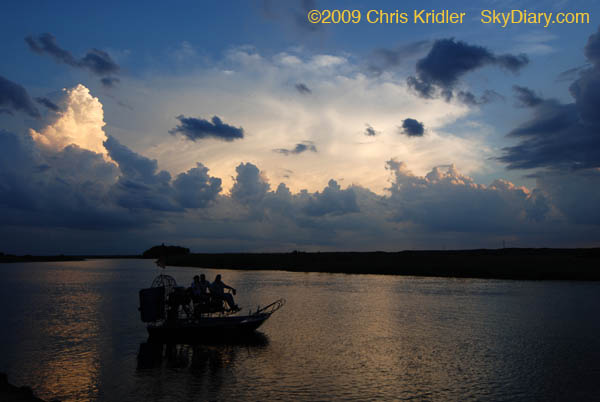
The sunset and storms provided a classic Florida scene as this airboat tried to get going at the Lone Cabbage Fish Camp.
More bolts spring from the approaching storm.
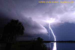
I love the reflection of the lightning in the water. I think this is my favorite photo from this stage of the evening. This is full-frame, not cropped.
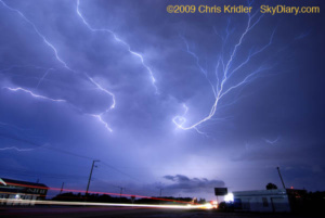
More great color and light – crawler above, traffic below.
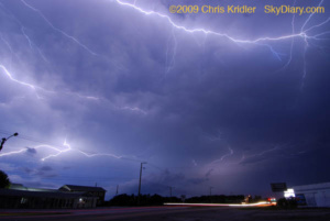
These just seemed to rip across the sky.
August 22, 2009: Hurricane Bill took pity on Florida and swept on by, but it delivered a boon to surfers in the form of big waves. Here are some shots on a beautiful beach day at the south end of Patrick Air Force Base (Satellite Beach).
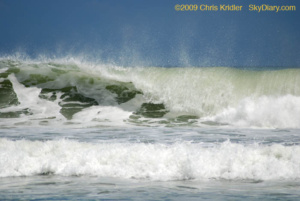
Whipped cream and emerald frenzy.
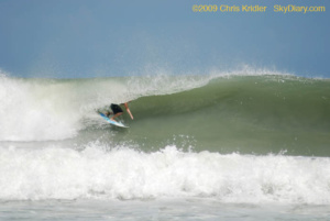
In the tube!
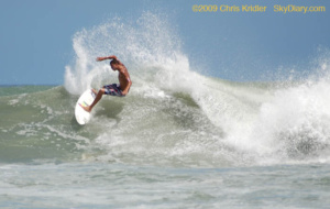
The arc.
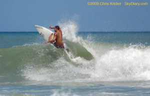
Taking off.
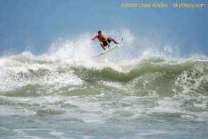
Airborne!
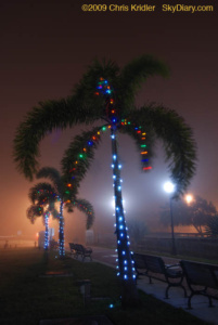 December 14, 2009: A fog event right out of a science-fiction movie rolled into Brevard County on Dec. 14. When I drove to the barrier island in the late afternoon, the fog seemed to be enveloping only the beach communities. Then it moved inland. I got just a few photos in Cocoa Village of the Christmas lights in the fog.
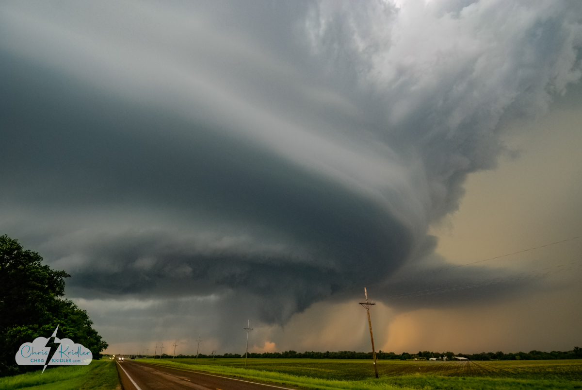
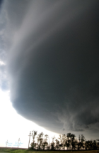
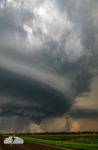
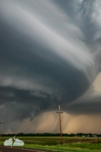
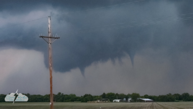
A funnel emerges from a lowering June 7. This storm produced a brief tornado in Kansas.
I have extensive archives from my early storm chasing years. I chronicled almost every day on the road, even bust days, at the old SkyDiary site, with lots of photos. In the interest of collecting everything in one place, I’m moving the highlights of the older chases over to ChrisKridler.com. With that in mind, this post collects some of the accounts from 2008 and select photos to accompany them.
1-2 May 2008
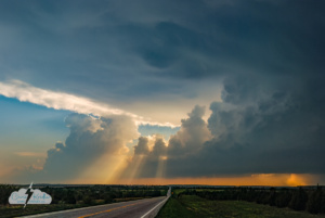
Closeup of convection feeding into the May 1 storm.
The day after: The day after the first chase of the year, that is. I am trying to achieve that Zen balance between overwhelming anticipation and extreme pessimism. The results of yesterday, May 1, met me in the middle. I started the day in Muskogee, Oklahoma, and moved west and north to meet the dryline and what I thought was the best potential near the Oklahoma-Kansas border.
I saw a great rotating storm, but I did not see a tornado (a spinup was reported with my storm; perhaps I wasn’t close enough to see it). And actually, because it was so gorgeous, with its crisp anvil, aggressively bubbling flanking line and a short period of flying-saucer-like laminar beauty as it moved with the line of storms, I wasn’t disappointed when I saw the grainy twilight tornado video from Oklahoma on The Weather Channel this morning. I had a good chase.
Now, there will be a lull of at least a couple of days. I guess I’ll set out from my current stop of Independence, Kansas, and dig up a few more Tornado Alley tourist attractions to see. I enjoyed seeing Bartlesville’s oil well in Oklahoma yesterday. But one can gaze upon Cawker City’s big ball of twine just so many times before it becomes too dazzling to bear …
3 May 2008
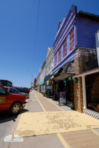
The yellow brick sidewalk in Sedan, Kansas.
Chasing choices: People who don’t chase storms sometimes wonder how I can’t see a tornado when there are dozens reported on a particular day. It looks easy when you see all those red triangles on The Weather Channel or Storm Prediction Center maps. But what the maps don’t tell you is (1) a lot occur at night; (2) if they are in certain parts of the country, like the South, they may hide amid trees and hills; (3) some are wrapped in rain, even if it is daylight; (4) not all reports are valid; and (5) even if they are visible, you have to be in the right place at the right time.
Sometimes a chaser decides it’s just not worthwhile. I wasn’t the only chaser to choose not to try to chase the squall line in Arkansas and environs today. Even though there have been several tornado reports, I would have been dealing with the aforementioned trees and hills. Not only that, but I would have had to drive many hours on little sleep, through a squall line going only slightly slower than myself, meaning I would have been driving in horrible rain etc. for a long time; and after all that driving and marginal chasing, I would have had to return back west to be in position for what I hope will be a better (and more visible) chase in a couple of days. And there are the gas prices.
So after Thursday’s chase and late night and not quite enough sleep, I decided to take it easy and amble from Kansas down to Norman, Oklahoma, on Friday. I always seem to come back to Norman at some point while chasing. On the way, I stopped in Sedan, Kansas. It’s a cute town with wonderful old buildings on the main street and a great art deco theater, among other things. Hollywood location scouts should give it a look. It also claims to have the longest yellow brick road – as in “The Wizard of Oz” – but I must admit that the “road” was a disappointment. It was a sidewalk along a city block, populated by bricks with donors’ names on them. It was a valiant effort, but it would not be an efficient way to reach the Emerald City. I don’t think Dorothy and her friends could link arm and arm and still fit as they skipped toward their destiny.
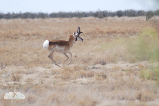
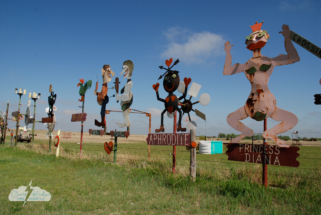
I’ve added a couple of photos to the roadside attraction pictures after wandering aimlessly today into eastern New Mexico and around the Texas panhandle. I saw lots of antelope and ended up at The Big Texan in Amarillo, where the Cloud 9 Tours group was also enjoying some steak.
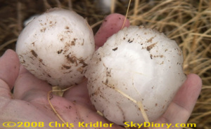
5 May 2008
Hail avoidance: The Cinco de Mayo chase involved no Mexican food, tons of driving, little sleep and a monster supercell. I got on it a bit later than I would have liked, in Roswell, New Mexico, where it had a pretty laminar look that I only caught the tail end of. I attempted to follow it northeast and saw the disaster it left in its wake – lots of disabled vehicles and lots of big hailstones by the side of the road.
I watched the storm just behind it for a bit as it spun an interesting wall cloud – next to a stunning curtain of white hail – and as soon as the first hailstones started falling around me, I bailed. I decided it just wasn’t worth it. I’ve had my car destroyed before, and I didn’t want to go into the belly of the beast on a road in the middle of nowhere that would soon be in darkness. Instead I went straight east out of Roswell, and got a nice phone update on the beast from Bill Hark, who was looking at the amazing radar images. The storm cluster was so huge that I got a neat look at its south side even on that road, and got some cool after-dark time exposures. But eventually I headed to Lubbock to stay ahead of what was becoming a line. I’ll post more photos later; I’m pretty tired. There’s no point in putting out a Don’t Disturb sign at the Motel 6 because many of the screaming guests have the motto “Disturb All the Time.” Today looks like an interesting chase, too, and I have to summon up a few brain cells to do a forecast.
6 May 2008
Redemption: Let’s just say, for all the perceived tornado potential – with the seeming right combination of upper-level winds, moisture, etc. – May 6 sure was a cluster day. Clusters of storms, or clustersomething. But the lightning I saw as I drove east of Lubbock was tremendous and redeemed my day. The best stuff was when I was still driving and it was happening all around me, the kinds of close bolts that cause a concussion like a cannonball. B-BOOM! Impressive. I got several good shots. Looks like one more chase day, anyway… but there’s no guarantee of its quality given all the current storms steamrolling through the area.
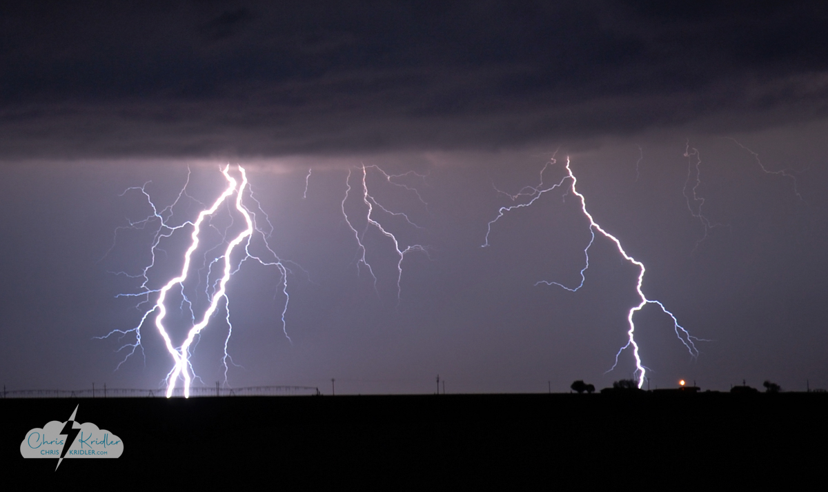
Lightning flashes east of Lubbock, Texas, on May 6, 2008. Photo by Chris Kridler, SkyDiary.com, chriskridler.com
Click on any image to start a slide show of images.
8 May 2008
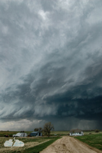
Supercell near Garden City, Kansas, May 8.
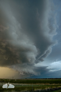
A beautiful shelf cloud developed.
The spin: The spin is the thing, and finally, I saw some real rotation and the classic signs of tornado formation in a storm in western Kansas, south of Dighton and northwest of Dodge City, as my Plains chase winds down. No tornado, but there might have been one in the rain and hail; several power poles were snapped in the area. And the whole thing evolved into a beautiful laminar shelf cloud that raced south.
19 May 2008
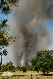
Fire in Grant, Florida, on May 13, 2008.
Fire and rain: The post-chase melancholy has set in, especially since it looks like there will be major severe weather in the Plains later this week, and I won’t be there. We finally had a little rain here in central Florida this weekend after the conflagration of the previous week. A lot of people’s lives went up in smoke.
I got to witness first-hand the drama of watching a farm in the path of the flames. There was something terrible and inexorable about the fire, especially when, on that quiet dirt road, the crackle of the flames was so audible and then their bright orange tongues shot through the trees. The long grass was so crunchy underfoot, it seemed it would take little for all of it to burn. Fortunately, a helicopter, some trucks and some good people stopped the advance.
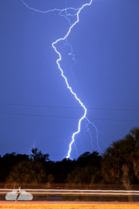
23 MAY 2008 – Lightning flashes over Rockledge, Florida.
23 May 2008
Love that lightning: It doesn’t compare to the freakin’ tornado wedgefest in the Plains this week, which work commitments kept me from chasing, but at least there was some nice lightning here in Florida on May 23. At first, Cheryl Chang and I checked out the storms. Then I stuck around a parking lot while the last one came through close to midnight, and I snapped lightning photos in Rockledge. Hope we get lots more picturesque storms this summer.
June 2008: Tornado quest fulfilled
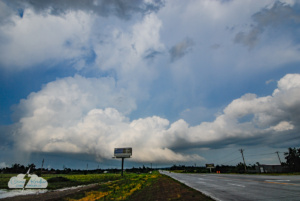
A storm near Claremore, Oklahoma, on June 6.
Whirlwind trip: I couldn’t resist one more chance to chase tornadoes in the Plains, so after some frustrating flight cancellations, I managed to get out there the morning of June 5, when the Storm Prediction Center was issuing a high risk and anticipating a possible tornado outbreak. I’d also anticipated a day like that, which is why I came out in the first place, but the outbreak didn’t materialize. Even local newspapers had headlines that said the “dire forecast” didn’t come about.
I drove from Kansas City into Nebraska and back to Kansas anyway and caught a beautiful shelf cloud.
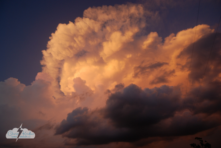
Sunset lit up the storms.
The trip was worth it. I saw some wonderful storms anyway, especially the following two days, while chasing with Dave Lewison and Scott McPartland.
On June 7, west of Beatrice, Nebraska, we checked out the distant anvils from a line of storms forming to the west. A line was undesirable, but we hoped one cell would break out and dominate. We checked out multiple storms, finally aiming for a cell in Kansas near Osborne. It had a beautiful curvature indicating rotation, funnels, and eventually, a slender tornado. Here are the photos from this mini chase. Click on any one to start a slide show with captions.
More pretty pictures
Once I got home to Florida, I caught several lightning storms and even helped cover Tropical Storm Fay for my newspaper. Below are a few more photos from these events. Click on any one to start a slide show with captions.
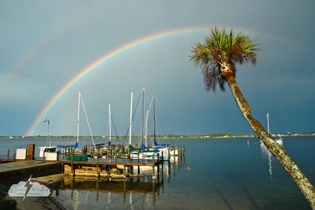
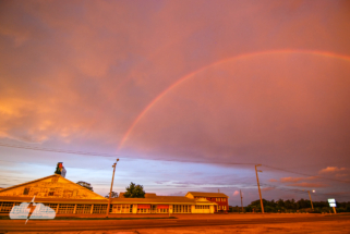
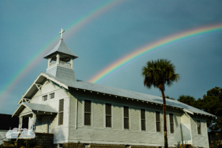
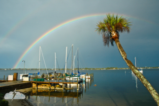
Rainbow in Rockledge, Feb. 13, 2007.
I have extensive archives from my early storm chasing years and am consolidating them and moving them over to ChrisKridler.com from the old SkyDiary. In this instance, while there were some very nice Florida chases in 2007, I’m putting them into this one post with the highlights in a gallery.
Click on any photo to start a slide show of larger images with captions.

