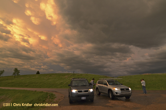
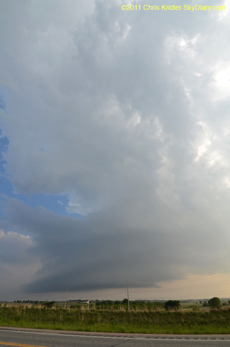
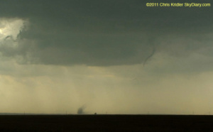
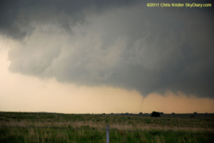
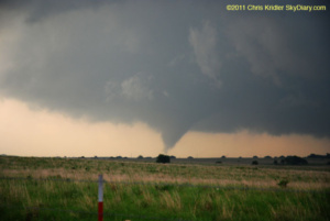
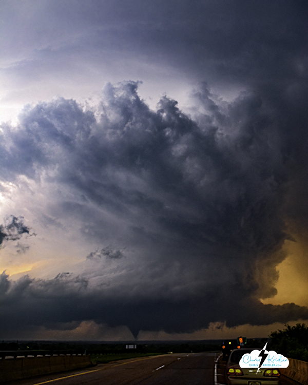
Chasing in southeast Oklahoma is a special kind of challenge. I was reminded of this fact as I spent a few minutes twisting through the hollers, my view completely obstructed by trees, as a tornado-warned storm that had already produced funnels was moving somewhere over my left shoulder. Nonetheless, that was my target today, due to a potentially favorable spin in the atmosphere and huge instability, among other things. Ardmore, specifically, I viewed as a starter point, but when I got there after driving from Wichita, I couldn’t help driving just a bit farther to Marietta, just north of the Texas border. (Also, I left the Ardmore truck stop because a skunk was wandering around, and I’d almost stepped on it when I attempted to get out of my car.) I was anxious over an already-reported tornado on the ground in Texas, but like everything in Texas, it was really far away. I chose to remain in my target area, watching cloud towers push up and break apart – until one started to look as if it meant it. It had crisp, billowing convection and began to cut a gorgeous shape in the sky. When I got up close enough to see the base, rotation was evident. At first, it had a multi-vortex appearance and produced a couple of needle funnels in this mode. Later, it put down short-lived tornadoes. And much later, as this storm died, another to its north produced a tornado just outside Ada, Oklahoma. I got to it just in time, and this photo shows the structure of the storm with the tornado on the ground under it. I’ll be posting more photos later, but once again, I am extremely sleep-deprived and anticipate more driving and chasing tomorrow and Monday. I hope I can find a few minutes (really, a few hours) to post photos soon.
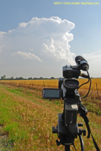
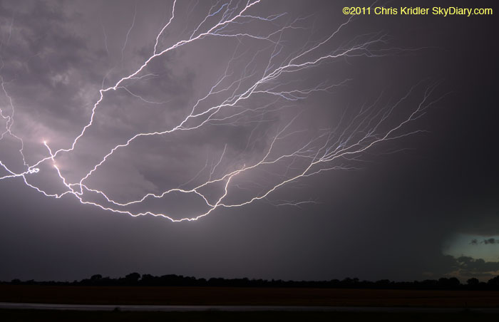
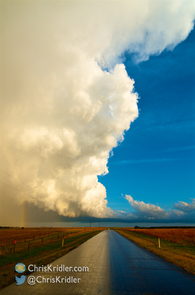
It’s about 4 a.m. CDT, and I’m making this post fast, so I can get to sleep. I had a glorious chase in southwest Kansas today (May 20 is still today for me, at the moment), as minor storms firing off the dryline offered lovely photo opportunities as they gained strength. I started with a big group of friends, but the company soon narrowed to Jason Persoff and Robert Balogh as we split in different directions around the storms. We kept going after the southern storms forming on the line, all in the vicinity of Pratt, Kansas. Here is just one shot; I have a lot more to post, but time ran out tonight after trouble on the road.
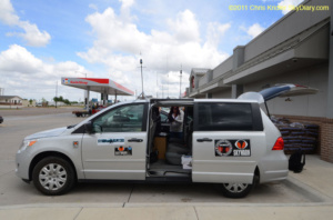
Just 10 miles west of Wichita late at night on the way into town and to our hotel rooms, Jason hit a deer. Or maybe we should say the deer hit Jason. Either way, Jason was OK, but the deer and the rental car were both in bad shape. Many phone calls, the kind attention of a wonderful police officer, and a tow truck later, and all Jason’s stuff was in Robert’s and my vehicles, and we were able to get under way again. We got in about 2 a.m., and it’s taken me forever to get all the photos off my cards. I just don’t have time to process them all tonight before lapsing into unconsciousness, so … more later!
The prospects seemed good today for tornadic supercells, the kind I’ve been waiting for, especially in south-central Kansas. Sometimes, you take a chance on an area where you hope for long-lived, photogenic storms rather than going after the other stuff. Today, it was all “other stuff,” as storms fired off the dryline and zoomed north, prompting a few unimpressive tornado reports. (To clarify: Yes, there were tornadoes, just not what I hoped for.) But meeting other storm chasers was fun.
You can’t always get what you want. Today, I don’t think I got what I needed, either – I’m still looking for Mr. Goodstorm, the supercell that will make this trip photographically worthwhile, before I go broke.
Though I knew the best chance for storms was in northeast Colorado on what was a marginal day on Tuesday, I decided not to go for them, because I wanted to be in good position to chase the next day farther south.
So I split the difference, driving from Amarillo to southeast Colorado – then Kansas and Oklahoma – seeing lots of blowing dust and road construction, along with picturesque ruins and a nice sunset. That’s four states in one day, and I didn’t get near the tornadic storms in northeast Colorado.
To top things off – well, you know when people spray perfume and then run into the cloud so they get a light spritz of scent? I think I got a similar treatment from a freshly road-killed skunk. It was dead when I drove by it, but the smell was overpowering, and my car is still kinda funky, at least on the outside. I also saw elk and pheasants today, but at least they were alive. And not stinky.I had some hopes for popup storms today, maybe storms with a little structure, but I’m wondering if I’ll see anything here in Texas. Chances will be marginally better in northeast Colorado, but I question whether it’s worth it for me to drive all the way there and then back into western Oklahoma (probably) for tomorrow. I will look over the data one more time before making a decision, but I don’t think I will go to the northern extremes, given the time and gas money involved.
Sometimes I’m asked if I’d like to chase storms full-time. And I would, except that it’s a seasonal gig. In addition, in between the storm systems, there is usually down time, as there is right now, when high pressure is sitting over Tornado Alley. I’ve always said, when I make my fortune, I’ll build my bunker vacation home in Oklahoma. Then I can hang out at my second home in between the storms. In the meantime, though, I’m languishing in a hotel, watching “Betelgeuse” and again wishing for a teleportation machine for easy cross-country commuting. It may be a few days before I have anything to update – whether it’s storms, or going home.
Late update today, because I’m in another crappy hotel (in north-central Kansas) whose wireless wasn’t working last night. I called the front desk and asked what the name of the network was, because it wasn’t showing up in the list. “I think it would be some kind of Internet thing, America Online or something like that,” the gentleman informed me. After a few minutes of conversation, he confessed, “I’m almost computer illiterate, to tell you the truth.” Thanks. Oh, yeah, and they told me breakfast was over at 10, but I found out the hard way it ended at 9. No hot waffle for me!
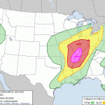
Not that I’m complaining, though in a way I am. I was on the main storm show from the start yesterday. It was another day of a churning low and crazy storm motions as the cells in question formed and then moved north or west around the low pressure. My first thought was northeast Kansas, but as the low’s position became more evident on the computer models, I felt it was important to go to eastern Nebraska, where the surface winds would be backed, thus aiding rotation. I spoke with Steve Sponsler and with Daniel Shaw, and Daniel and I decided to go for the Nebraska target, despite the Storm Prediction Center’s more likely tornado risk farther south. It was a good call, even if we didn’t see the reported tornadoes.
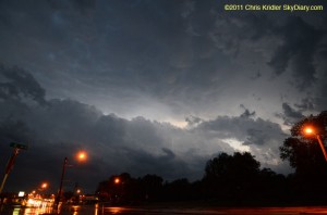
We were in York when the first storm went up and a tornado watch came out. We got to the storm fairly quickly, but as the whole line of convection exploded, the potential for photogenic storms fell. The photo is from that first storm, which was tornado-warned, between Cairo and Ravenna, Nebraska. It was an interesting chase, as storms kept training over the same area. The storm system almost looked like a hurricane over Nebraska on radar. Or, as I said on Facebook, a giant toilet that kept flushing supercells. It wasn’t exactly what I came out for, though. I’m still looking for a long-lived, isolated rotating storm that will pose for its picture. It doesn’t have to smile.
It’s hardly worth summarizing today, except to note that the days with the highest expectations – a couple of days ago, this seemed as if it would be the best Plains chase day of the first half of May – often don’t meet those expectations. Were there storms? Yes. But despite some tornadoes early in the day in an area deemed not worth chasing, overall, this was not a big tornado day, despite a strong upper trough and other good dynamics. In the morning, clouds and rain covered much of the area, but the grunge moved out, allowing for heating and therefore energy for storms. But the dewpoints stayed depressed, and the clustered storms in northeast Colorado/northwest Kansas didn’t quite get their act together to produce tornadoes. I made a conscious choice to go after an isolated cell in my target area instead, around Dodge City and north, but it fizzled, and I ended up seeing little worth noting. I did drive in a lot of big circles, though.
There’s nothing like eating your continental hotel breakfast of generic fruit loops and hard-boiled egg while hearing the morning “crapvection” spitting rain all over your hopes for the day. Not that I am entirely without hope, or I’d be at home, given that essentially all storm-chasing is about gambling time and gas money against a few moments of reward. But this morning, what it comes down to is that this big shield of clouds and rain is going to have to get out of the way in order for sunshine – and thus heat and destabilization – to occur to fuel severe storms later. How all that will play out is up to Mother Nature. In addition, there are multiple potential target areas. Northern Kansas? Oklahoma-Kansas border? Mars? Rather than rush out to chase the rain, I’ll do a little more analysis before I give up my wi-fi.