The 2021 storm season hasn’t yielded a ton of photogenic tornadoes, unless you were around for that April event … and I wasn’t. I go out to the Plains and chase for two or three weeks in the spring, usually in the second half of May. The disadvantage to not living in Tornado Alley is that access to the big storms isn’t easy. But the advantage to a “chasecation” is that all you have to do is chase storms, so you can chase everything, which means you sometimes catch wonderful surprises.
All of this is to say that May 24 actually had one of the most photogenic tornadoes of the season in Kansas, but we missed it. And I didn’t mind all that much, because we saw a spectacular supercell with incredible structure like nothing I’d seen before.
Truth is, that’s one of the appeals of storm chasing: Every storm is like nothing you’ve seen before, only some are more unusual than others. This one qualified.

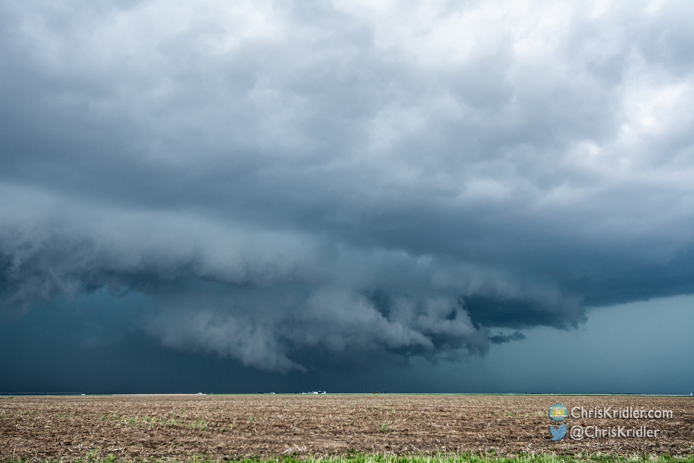
At Pence, Kansas, northwest of Scott City, inflow suddenly increased into the first storm we targeted, and rotation in this area picked up.
We started the day by retrieving my sunroof hail shield west of Burlington, Colorado, where it had blown off the car in a screaming inflow wind the day before. With it newly secured with several big-ass zip ties, supplementing its heavy-duty magnets, we were ready to chase.
Alethea Kontis and I joined Jason Persoff and Bill Hark, though as usual, we ended up on different parts of the storms for much of the day. Our initial target was what looked like a promising area south of the front in southwest Kansas, where there was some clearing, allowing the sun to heat up the atmosphere and provide fuel for the storms. (The impressive tornado at Selden occurred farther north.) We had to drive through murky fog to get to our target but, in the clear air, were treated to bubbling cumulus and storms in progress.
Our first storm was north of Leoti (where I saw a gorgeous layer-cake supercell in 2016), and it was spinning. It even looked like it might try to put down a tornado, but it couldn’t get its act together. As it went into an area of questionable roads, we went south, east, north and west again to catch up with it. For a moment, northwest of Scott City, it started sucking in inflow and had a big area of serious rotation. I really thought it might drop a tornado – and then the outflow took over, killing the storm’s chances. The bright side: It was gorgeous!
Then it was decision time, and our decision was to go after new storms developing to the southwest. So after more repositioning, we got in front of the storm near Holcomb.

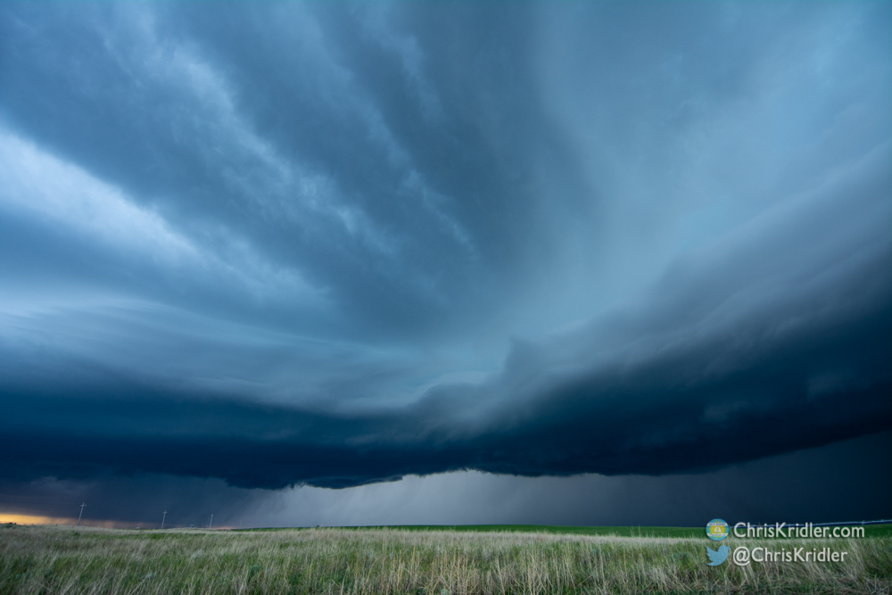
The storm we chased from near Holcomb to south of Garden City had incredible structure. At its heart, a huge laminar inflow feature (at right) flowed into the base of the storm.
This was our storm of the day, thanks to its extraordinary structure – including a highly laminar inflow feature that resembled a shelf cloud (but wasn’t). Sometimes I get too far in front of storms – I’m hail-avoidant, and I love structure. In this case, we almost weren’t far enough from this one. But we got great pictures, stayed ahead of the hail and eventually got south of Garden City to watch it continue its march east. It was tornado-warned, but we didn’t see the reported tornado (this has been the theme of 2021, where you have to be under the meso to lay eyes on quick spinups, even if you’re filming the damn thing the entire time). But it really didn’t matter. This supercell was gorgeous, and a stormy sunset concluded the day.
Roll over a photo to see a caption, or click on one to start a slide show of larger images.

