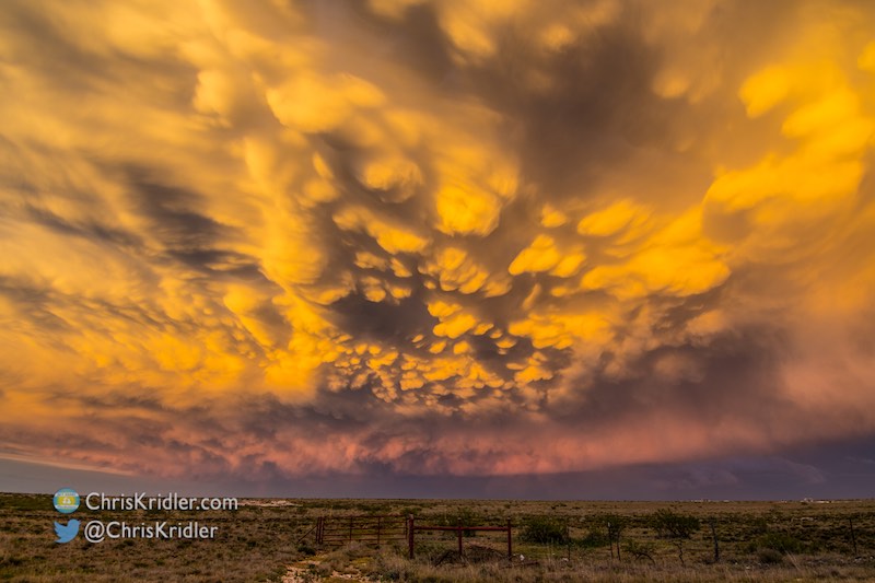
Colors in this New Mexico storm became breathtaking with the sunset.
Roll over each image to see the caption, or click on one to see a slide show with larger photos.

Colors in this New Mexico storm became breathtaking with the sunset.
Roll over each image to see the caption, or click on one to see a slide show with larger photos.
May 18, 2017, started with a “high risk” forecast issued by the Storm Prediction Center. I hate chasing high risks. I’ve had high-risk busts or missed fast-moving, violent wedges on high-risk days. I’ve never had a great high-risk chase.
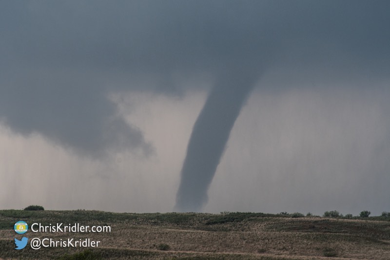
At least today, Kathy Velasquez and I targeted northwest Oklahoma, broke the high-risk tornado curse and saw one near Waynoka. There were many pretty sights today, even if all of them were far too brief.
Roll over an image below to see its caption, and click on any photo below to start a slide show of larger images.

An elephant-trunk tornado near McLean, Texas.
Roll over an image below to see its caption, and click on any photo below to start a slide show of larger images.
