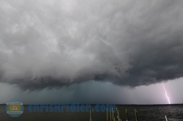
The Aug. 17 storm was really electric, as seen from Melbourne looking east over the Indian River Lagoon. Photo by Chris Kridler, ChrisKridler.com, SkyDiary.com

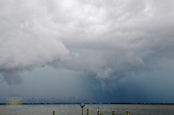
I missed the Brevard County funnel clouds on Aug. 17 but caught the tail end of the line heading out to sea. Photo by Chris Kridler, ChrisKridler.com, SkyDiary.com
So after my last assignment, I rushed north to Melbourne to catch the tail end of the storms as they went out to sea. The motion and structure were pretty, but I didn’t see any funnels – just a deceptive feature that was sort of the right shape, but not, as far as I could tell, the real thing. The feature, which appears to consist of condensing scud clouds, is pictured below (at right in photo). At least I got a lucky daytime lightning bolt. I definitely didn’t have “Funnel Vision” on Friday!

